The ocean, though vast and seemingly boundless, offers limited space for human activities. The potential for offshore wind farms and marine renewable energy facilities around the British Isles is tremendous, but the UK government's 2050 net-zero targets will inevitably displace fishing activities. Scenario simulations reveal that co-existence and co-location are more critical than ever.
Coexistence: The Solution for Crowded Seas - A 2050 Scenario Simulation of the UK Fishing Indust

Coexistence: The Solution for Crowded Seas - A 2050 Scenario Simulation of the UK Fishing Indust
Publish time: 2023-03-14
Read article
Scenario simulations of bottom trawling in the UK
The British capture fisheries and fish processing industries employ 24,000 workers, contribute £1.4 billion to the UK economy, and support food security by providing healthy, nutritious, climate-friendly protein. Mobile fishing gears, primarily trawling, constitute 79% of the UK fishing industry's landings by value. The National Federation of Fishermen's Organisations (NFFO) and the Scottish Fishermen's Federation (SFF) jointly published a report, the Spatial Squeeze in Fisheries, in June 2022. The report focused on bottom trawling activities and outlined five scenarios based on various possible constraints: Past (2000), Present (2020/21), Future 1 (2030), Future 2 (2050), and Future 3 (2050, with worst-case assumptions regarding compatibility with fishing activity).
These simulations cover not only fisheries and their associated management restrictions but also related sectors such as nature conservation, offshore renewable energy (wind, wave, tidal), aggregate dredging, aquaculture (including finfish, shellfish, and seaweed), cables, and oil and natural gas infrastructure. Brief descriptions of the present, future 1, and future 3 scenarios are as follows:
|Present:
Designated marine protected areas, some with management measures to protect sensitive features from trawling and dredging. 10.4 GW offshore wind installed. Tide and wave energy projects are small. Trawling is banned in waters >800 m depth and on vulnerable marine ecosystems >400 m depth, with technical constraints for trawling over the rocky seabed. Aquaculture, aggregates, cables, and oil and gas installations are as they were in 2020/21.
|Future 1:
Trawling is banned across 80% of marine protected areas. 40 GW offshore wind deployed in UK waters. Wave and tidal energy development align with sector plans and trends. Aquaculture, aggregates, cables, and oil and gas development follow sector growth aspirations. Oil and gas platforms are not yet decommissioned.
|Future 3:
Trawling is banned across all marine protected areas. 115 GW of offshore wind deployed in UK waters, with no trawling allowed within offshore wind farms. Wave and tidal energy developments align with sector plans and trends. Aquaculture, aggregates, cables, and oil and gas development follow sector growth aspirations, but trawling and dredging are banned over a 0.25 nautical mile buffer zone on either side of the cables. All oil and gas platforms remain.
In the Past scenario, trawling was allowed in almost the entire UK EEZ (only 0.39% of the area was restricted). In the Present scenario, nearly 170 thousand square kilometers have trawling restrictions (covering 23% of the EEZ). Currently, these restrictions have a minor impact on the fishing industry as a whole, with British fishing vessels still able to maintain the original quantity and value of catches. However, the impacts may become much greater on a local scale. By 2030, under the Future 1 scenario, the restricted area covers 36% of the UK EEZ. By 2050, under the worst-case scenario of Future 3, the percentage of restricted areas rises to 49% of the EEZ. The three sectors that occupy the largest portions of the seabed area, in order, are nature conservation, offshore wind power (115GW offshore wind farms requiring approximately 31,500 square kilometers), and cables (requiring approximately 25,500 square kilometers).
The NFFO and the SFF emphasize that the Spatial Squeeze in Fisheries report is only the "beginning." The UK fishing industry is highly diverse, and mobile fishing gears include not just trawls, but also seines and dredges, while trawls can be subdivided into demersal and pelagic trawls. Fishing boats range from small coastal vessels to large ocean-going ones in terms of operating range. Non-British fishing vessels operating in UK economic waters will also face spatial squeeze pressure. Further investigations covering all the different types of fisheries are required to estimate the full impact of the spatial squeeze.
On the local level, fishing is often of particular economic and cultural significance to coastal and island communities. The cases of the Moray Firth in Scotland, as well as the Wash and the Humber Estuary in England, may serve as references.

Local-level impacts
Moray Firth is the largest firth in Scotland; the naturally sheltered environment provides safety for fishing vessels, while the varied composition of the seabed allows for a rich variety of fishing activities. Plans have been made to designate the area from the southern shoreline of the firth to the territorial water boundary as the Southern Trench MPA. The Beatrice and Moray East wind farms in the middle of the firth have entered commercial operations, while the Moray West wind farm is currently under construction.
Currently, the impact of the wind farms can already be observed on dredges, seines, and creel fisheries on the north side. The wind farms' export cables run on nearly parallel routes from north to south, impacting squid fisheries, Nephrops trawling, and scallop dredging consecutively. Mobile fishing fleets will face significant constraints during operation and must relocate elsewhere within the Firth. Mobility is already limited by the features of specific fishing areas, but relocation becomes impossible when alternative locations are also occupied by other activities in the future. Furthermore, while seaweed cultivation is unquantifiable, it is a foreseeable source of spatial pressure. Seaweed is currently a small part of Scotland's aquaculture industry, but it has clear objectives for growth.
Commercial fishery has been thriving around the Humber since the middle ages. Today, the most valuable static gear fisheries in Europe are located near the towns of Bridlington, Hornsea, and Withernsea. Farther away from land, larger fishing boats target scallops and some whitefish with mobile gear. Offshore wind farm developments have been intense around the fishing grounds, with numerous wind farms entering commercial operation. Grimsby, a role model of fishing village transition cases and currently the largest offshore wind power O&M port in Europe, is located on the right bank of the Humber Estuary.
Once an area of intense fishing activities, the Humber Gateway wind farm off the coast of East Yorkshire is now only occasionally visited by fishing boats. The number, density, and combination of wind turbines make it almost impossible for boats to operate in the area. The displaced coastal fishermen are left with the choice of increasing fishing pressure along the coast or sailing their small boats further out to discover other fishing spaces. At the same time, larger and more distant wind farms (such as the Hornsea Project and Dogger Bank) are likely to push the mobile gear fishing fleet south and west towards traditional static gear fisheries. North Norfolk, on the east side of the Wash, faces similar problems. Vessels from Boston and King's Lynn in the Wash trawl for brown shrimps and use creel for conches. Unfortunately, the topography of the Wash limits the local fleets' ability to adapt to the displacement effect.
The establishment of marine protected areas may further displace or concentrate fishing activities. Take two marine protected areas, The Holderness Inshore and Holderness Offshore, as an example: covering nearly 1,500 square kilometers, almost the whole area was once fishing grounds, but it is still uncertain what associated management measures will be taken in the future.
By striving for the coexistence of offshore wind farms and marine protected areas, allowing fishing activities near cables, within wind farms, and within marine protected areas where feasible, fishery congestion will have a chance to be reduced. Overlapping coexistence of offshore wind farms with marine protected areas has already occurred in the UK―for example, the aforementioned Lincs and Triton Knoll wind farms near the Humber Estuary partially overlap with the Inner Dowsing, Race Bank, and North Ridge marine protected areas (Ashley et al. 2018). In contrast, if a complete fishing ban is implemented in all offshore wind farms, the international gillnet fisheries in the German EEZ of the North Sea could end up declining by as much as 50% (Stelzenmüller et al. 2016).
Integrating coexistence into wind farm auction design as early as possible
With the proliferation of marine protected areas and offshore wind farms, ocean space will inevitably become more crowded in the coming years. Even though marine spatial planning is the ideal platform to discuss coexistence, fisheries matters are generally seen as a "soft parameter" rather than a hard constraint, lacking the legal status of marine protected areas and offshore wind farms. Only when wind farms are designed with turbine pile spacing greater than 1,000 meters, submarine cables are buried at least 1.5 meters deep, and the original state of the seabed is maintained with less rubble protection work, will coexistence have a chance to be realized, ensuring that the energy transition is also a just transition.
Scenarios for marine sectors

Reference:
1. ABPmer, (2022). Spatial Squeeze in Fisheries, Final Report, ABPmer Report No. R.3900. A report produced by ABPmer for NFFO & SFF, June 2022.2. Ashley, M. I., Austen, M. U., Rodwell, L., & Mangi, S. C. (2018). Co-locating offshore wind farms and marine protected areas. In Offshore Energy and Marine Spatial Planning (Vol. 246, No. 259, pp. 246-259). ROUTLEDGE in association with GSE Research.
3. Stelzenmüller, V., Diekmann, R., Bastardie, F., Schulze, T., Berkenhagen, J., Kloppmann, M., ... & Kraus, G. (2016). Co-location of passive gear fisheries in offshore wind farms in the German EEZ of the North Sea: A first socio-economic scoping. Journal of environmental management, 183, 794-805.
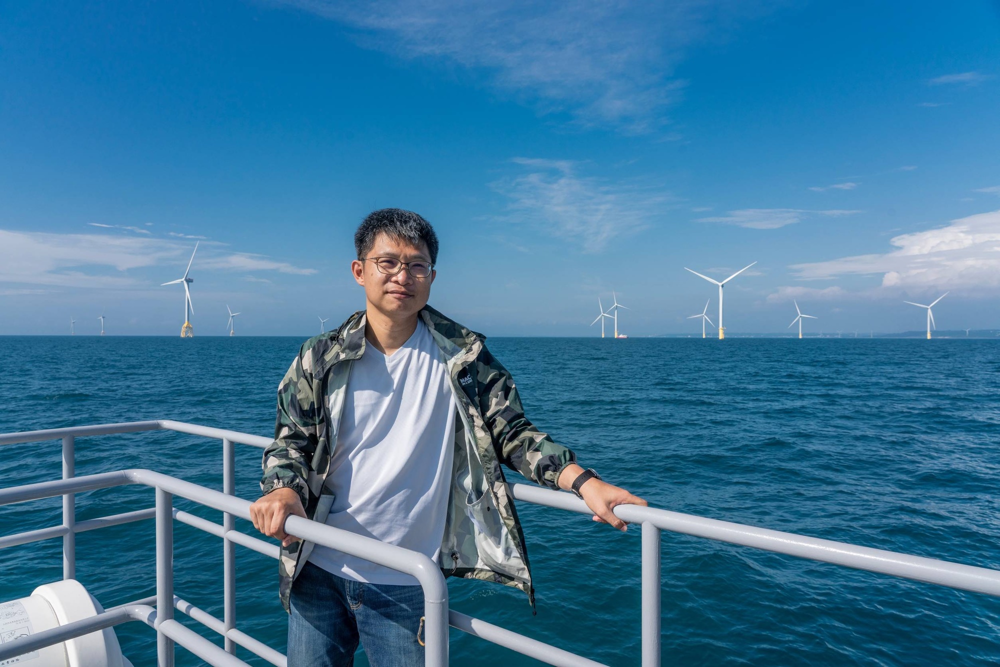
Fei-Chun Wu (Researcher/ Taiwan Ocean and Environmental Sustainability Law Center)
Fei‐Chun Wu is working as a researcher at the Taiwan Ocean and Environmental Sustainability Law Center, Environmental Rights Foundation. Before joining the TOES Law Center, he had more than a decade of experience as a CSR consultant and understood the different ways of thinking of corporates and NGOs. Wu is interested in exploring the marine social sciences, with a particular focus on human-ecosystem interaction and the trade-off between food, energy and conservation. Given the imperative of a just transition, he believes that ensuring meaningful stakeholder engagement and promoting co-existence between the offshore wind sector and fisheries emerge as critical priorities.
More related articles
